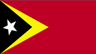
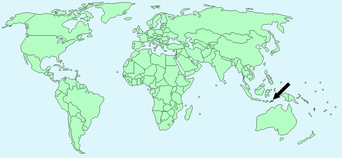
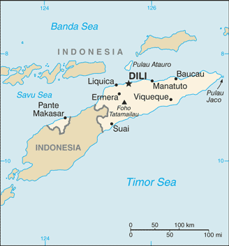
East Timor (Timor Leste)


Continent – Asia
Region – South East Asia
Size – 15,007 km²
Geography – mountainous
Language – Tetum, Portuguese, Indonesian, English
Religion – 98% Roman Catholic, 1% Muslim, 1% Protestant
Monetary Unit – U S Dollar
Natural Resources – gold, petroleum, natural gas, manganese, marble
Agriculture – coffee, rice, corn, cassava, sweet potatoes, soybeans, cabbage, mangoes, bananas, vanilla
Industry – printing, soap manufacturing, handicrafts, woven cloth

Neighbouring Countries – Indonesia
Population – 1,201,542 (2014 estimate)
Population Growth Rate – 2.44%
Average Life Expectancy – 67.4
Capital City – Dili (180,000)
Highest Mountain – Foho Tatamailau (2,963 m)
Longest River – no major rivers
Climate – tropical, hot, humid 21°C to 31°C
Yearly Rainfall – 285 cm (approx) mostly November to April
Plant Life – forests, savanna grasses, ironwood, eucalyptus, black eucalyptus, redwood, sandalwood, cendana, and lontarwood
Animal Life – deer, monkeys, horses, cows
Bird Life – cockatoos
Harvard Reference for this page:
Heather Y Wheeler. (2015). East Timor. Available: https://www.naturalhistoryonthenet.com/Facts_Figures/Country_Facts/easttimor.htm. Last accessed Monday, July 18, 2016
Facts and Figures Pages
