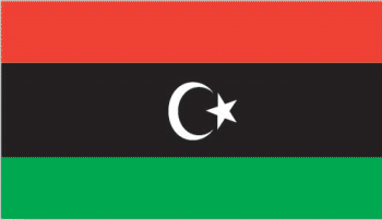
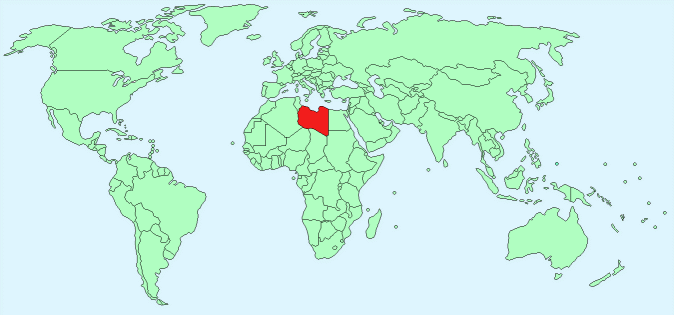
Libya


Continent – Africa
Region – North Africa
Size – 1,759,540 km²
Geography – flat barren land with some gentle hills
Language – Arabic (official), English, Berber
Religion – Muslim (official) 96.6%, Christian 2.7%, other 0.7%
Monetary Unit – Libyan dinar
Natural Resources – petroleum, natural gas, gypsum
Agriculture – wheat, barley, olives, dates, citrus, vegetables, peanuts, soybeans; cattle
Industry – petroleum, petrochemicals, aluminum, iron and steel, food processing, textiles, handicrafts, cement

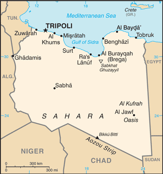
Neighbouring Countries – Egypt, Tunisia, Algeria, Niger, Chad, Sudan
Population – 6,244,174 (2014 estimate)
Population Growth Rate – 3.08%
Average Life Expectancy – 76.04
Capital City – Tripoli (1,127,000)
Highest Mountain – Bikku Bitti (2,267m)
Longest River – No permanent natural rivers
Climate – Mediterranean coast – warm winters – 10°C to 22°C and hot summers 20°C to 32°C, south desert – warm winters – 10°C to 24°C and very hot summers 20°C to 40°C
Yearly Rainfall – 36 cm (approx) mostly in October
Plant Life – Juniper, lentisc, brome grass, canary grass, bluegrass, rye grass, figs, olives, palm trees
Animal Life – monk seal, reptiles, rodents, hyena, fennec fox, jackal, lemmings, voles
Bird Life – flamingo, birds of prey, plover, busted, desert larks, desert sparrows
Harvard Reference for this page:
Heather Y Wheeler. (2015). Libya. Available: https://www.naturalhistoryonthenet.com/Facts_Figures/Country_Facts/libya.htm. Last accessed Monday, July 18, 2016
Facts and Figures Pages
