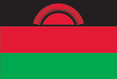
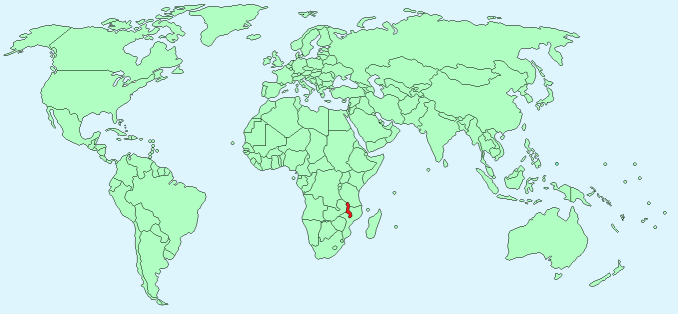
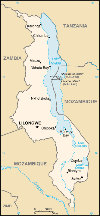
Malawi


Continent – Africa
Region – Southern
Size – 118,484 km²
Geography – plateau, plains, hills and mountains
Language – English (official), Chichewa
Religion – Christian 82.6%, Muslim 13%, Other4.4%
Monetary Unit – Malawian kwacha
Natural Resources – limestone, arable land, hydropower, unexploited deposits of uranium, coal, and bauxite
Agriculture – tobacco, sugarcane, cotton, tea, corn, potatoes, cassava (manioc, tapioca), sorghum, pulses, groundnuts, Macadamia nuts; cattle, goats
Industry – tobacco, tea, sugar, sawmill products, cement, consumer goods

Neighbouring Countries – Tanzania, Mozambique, Zambia
Population – 17,377,468 (2014 estimate)
Population Growth Rate – 3.33%
Average Life Expectancy – 59.99
Capital City – Lilongwe (867,000)
Highest Mountain – Sapitwa (3,002m)
Longest River – Shire (402 km)
Climate – sub-tropical – lower regions – 25°C, mountainous regions hot summers 17°C to 29°C and warm winters 7°C to 24°C
Yearly Rainfall – 100 cm (approx) mostly in winter months
Plant Life – bamboo, cedar, evergreens, grassland, mopane, baobab, acacia
Animal Life – elephant, giraffe, zebra, lion, buffalo, hippopotamus, wildebeast, antelope, baboon, monkey, hyena, badger, warthog
Bird Life – grebes, pelicans, cormorants, darters, herons, bitterns, egrets, hammertop, stork, ibis, spoonbills, flamingos, storks, geese, osprey, eagles, kites, hawks, secretary bird, falcon, quail
Reptile Life – Crocodile, tortoise, marsh terrapin, chameleon, lizard, snakes
Fish Life – bream, bass, catfish, mudfish, perch, carp, trout
Harvard Reference for this page:
Heather Y Wheeler. (2015). Malawi. Available: https://www.naturalhistoryonthenet.com/Facts_Figures/Country_Facts/malawi.htm. Last accessed Tuesday, July 19, 2016
Facts and Figures Pages
